Expanding Greater Israel: How Israel Quietly Seized, Fortified, and Occupied Southern Syrian Territory
- Unplug The Empire

- Jul 5
- 6 min read
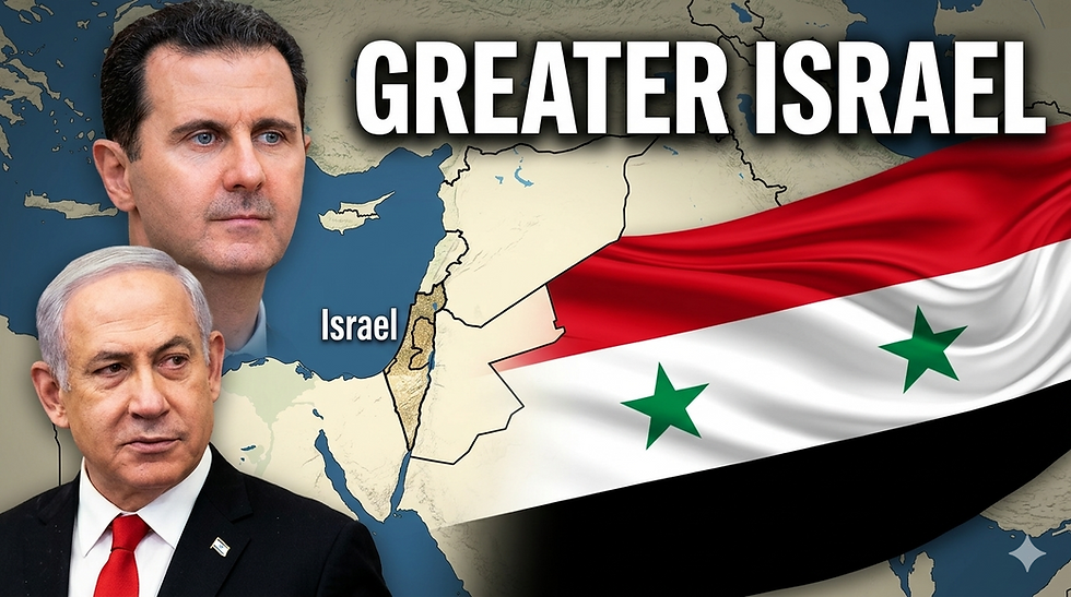
On December 8, 2024, the eyes of the world were glued to Damascus. In a historic and chaotic turn of events, the decades-long regime of Bashar al-Assad collapsed, sending shockwaves through the global political landscape. As international media outlets scrambled to cover the celebrations, power vacuums, and massive geopolitical uncertainty in the Syrian capital, a far more quiet, calculated operation was unfolding just sixty kilometers to the south.
While the world looked away, Israeli military forces rolled across the 1974 ceasefire line—a boundary that had strictly regulated the frontier between Israel and Syria for half a century. Within a mere 48 hours, under the cover of global distraction, Israel successfully captured 350 square kilometers of sovereign Syrian territory. To put the scale of this sudden land grab into perspective, the seized area is larger than major international cities like Paris, San Francisco, or Milan.
Nobody really noticed, and for the planners in Tel Aviv, that was exactly the point. What began as a swift border crossing has since matured into a systematic, permanent, and highly technological occupation of southern Syria. This is not a temporary buffer zone or a fleeting security measure; it is the violent, bureaucratic, and structural manifestation of a long-held ideological dream: the expansion toward "Greater Israel."
The Geometry of a Silent Conquest
In the months following the initial incursion, the international community largely moved on, preoccupied by broader regional conflicts and the aftermath of the U.S.-Israeli war on Iran. However, local monitoring groups on the ground have refused to let the silent annexation go unnoticed. Foremost among them is the Sigil Center, a Syrian monitoring organization that has meticulously tracked the structural transformation of the region.
According to the center’s data, Israel has committed more than 1,600 documented military violations inside Syrian territory. This aggressive campaign spiked exponentially following the intensification of military operations against Iranian interests in the region.
As described by Hamza Adban, the head of the Sigil Center, the sheer geography of the Israeli expansion reveals its permanent nature. The occupation has carved out a strategic triangle that spans from the rugged heights of Mount Hermon in the north down to the fertile Yarmouk basin in the south, pushing a staggering 15 kilometers deep into the interior of Syria. This triangle has effectively become a high-density zone for Israeli fortification, engineering, and demographic engineering.
Bulldozers, Bases, and Brutality
Within this newly captured Syrian territory, the military reality on the ground has shifted from an active battlefront to an entrenched occupation. Satellite imagery captured throughout 2025 reveals a grim timeline: the rapid development of a continuous chain of fortified military outposts running the full length of the Quneitra countryside. It is here that over 80 percent of all Israeli military violations have been concentrated.
The human and environmental cost of this construction has been devastating for the local Syrian population. In the village of Al-Hamidiyah alone, the Israeli military demolished 250 hectares of historic forests and vital farmland. To make room for a sweeping new military command and control base, 16 residential homes were completely razed to the ground, instantly displacing 12 local families.
Further west, Israeli forces seized control of the Western Red Hill (Tel al-Ahmar al-Gharbi), a highly strategic natural high point. By capturing this elevation, the military secured an unobstructed line of sight stretching deep into the heart of the Syrian interior, giving them total panoptic surveillance over any potential regional resistance.
To manage and restrict the remaining population, Israel established four permanent military gates, weaving them together to construct a continuous, militarized geographic security belt. Through these gates, Israeli forces regularly deploy into civilian areas to conduct terrorizing night raids. Local residents are routinely detained, gathered at checkpoints, subjected to verbal abuse, and met with physical brutality designed to break any local will to resist.
The Silent Weapon of Displacement
Perhaps the most insidious tactic documented by regional monitors is the systematic deployment of environmental warfare, or ecocide. In the occupied agricultural zones, Syrian farmers and sheep herders have recorded numerous instances of Israeli forces spraying unidentified, highly toxic chemical substances over vast swathes of land.
The results have been catastrophic for the local ecosystem and economy: entire seasons of crops have withered away overnight, and vital livestock pastures have been permanently poisoned. For hundreds of families who have relied on this land for generations, the destruction of their livelihoods is absolute.
Monitors like Hamza Adban emphasize that this chemical warfare is not an accident of military logistics—it is a deliberate policy. By systemically killing the local means of living and wiping out independent income sources, Israel is executing a silent, slow-motion campaign of forced displacement. Without land to farm or animals to graze, the local Syrian population is being choked out, forced to abandon their ancestral villages without the need for a bloody, high-profile mass expulsion that would draw international condemnation.
The $1.7 Billion AI "Smart Border"
As the physical footprint of the occupation solidifies, Israel has turned to its formidable tech-military apparatus to finalize the annexation. In early 2026, the Israeli government announced a massive, $1.7 billion infrastructure project to construct a high-tech "smart border" wall built entirely within seized Syrian and Jordan-border territories.
The Smart Border Network: A 500-kilometer barrier integrating automated drone fleets, ground sensors, facial recognition, and AI-driven target selection to lock down seized land.
This 500-kilometer security wall stretches from the southern Golan Heights all the way to the vicinity of Eilat at Israel's southern tip. It represents the cutting edge of automated apartheid. The barrier is heavily linked to the Sufa 53 project—a heavily armored military highway running parallel to the old ceasefire line, which Israel quietly began constructing in mid-2022.
This is far from the first time Israel has weaponized advanced technology for land retention. The Israeli military has faced severe international criticism for its deep integration of artificial intelligence systems, which were used to automate bombing targets in the Gaza Strip and to deploy widespread facial-recognition networks across the occupied West Bank to monitor and restrict the daily movements of millions of Palestinians. In southern Syria, this exact same tech framework is being deployed to cement a new territorial reality.
Settlers and the "Greater Israel" Endgame
The immense financial and military investment into the $1.7 billion smart wall is fundamentally designed to safeguard a broader, long-term political goal: demographic replacement through civilian settlement.
The security barrier provides the necessary shield for domestic colonization. The Israeli cabinet recently passed a sweeping resolution dictating the relocation of 3,000 new Jewish settler families into the occupied Golan Heights town of Katzrin by the year 2030. By shifting its own civilian population into newly occupied territory, Israel is repeating a well-documented playbook of incremental annexation, making any future diplomatic return of the land functionally impossible.
The political rhetoric matching these actions leaves no room for ambiguity. Far from hiding behind the guise of temporary security defense, Israel's political leadership has openly championed the expansion. Finance Minister and prominent settlement enthusiast Bezalel Smotrich explicitly stated his adherence to the concept of a "Greater Israel," an ideological map that aggressively extends Israel's borders deep into:
Syria
Jordan
Lebanon
Iraq
Saudi Arabia
Smotrich openly boasted that the land grabs in southern Syria are part of a unified, multi-front expansion strategy operating alongside similar military operations in Lebanon and the Gaza Strip.
According to independent financial and geospatial calculations published by the Financial Times, these combined active land grabs now total well over 1,000 square kilometers of newly seized territory. This amounts to a staggering 5 percent increase over Israel’s original 1949 armistice borders.
Newly appointed Defense Minister Israel Katz doubled down on this uncompromising trajectory, delivering a stark message to the international community and the displaced people of the region: "Israel will not move a millimeter from Syria."
A Familiar Blueprint of Erasure
For the Syrian citizens watching their villages bulldozed, their homes replaced by military outposts, and their fields poisoned by unidentified chemicals, this process is deeply, agonizingly familiar. It is the exact same blueprint that has been used to systematically hollow out Palestine over the last eight decades: strike during a period of intense crisis, establish a "temporary" military presence, build permanent infrastructure, destroy the local economy to force displacement, and ultimately bring in civilian settlers to finalize the map.
As the international community remains paralyzed, Israel continues to quietly rewrite the borders of the Middle East by sheer force and technological leverage. For the people of southern Syria, the terrifying question is no longer about what Israel intends to do with their land. The question is whether anyone in the world possesses the political will, the moral courage, or the power to stand up and stop them.


Comments